Moorea means "yellow lizard" in the local Tahitian language. The island was originally named "Aimeo", until the middle 1800's.
Moorea means "yellow lizard" in the local Tahitian language. The island was
originally named "Aimeo", until the middle 1800's.
Moorea is home to nearly 12,000 people, many of whom commute by either plane or ferry to work in Tahiti.
The majority of Morrea's population lives near the island's coast, which is 39 miles (67 km) around. The island is serviced by one main road.
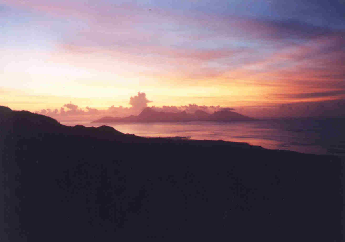
The chain of islands that is home to both Moorea and Tahiti is called the Society Islands. Moorea is located south of the equator in French Polynesia, the middle of the Pacific ocean. Travel time to Moorea is roughly seven and a half hours from Sydney, Australia and eight and a half
hours from L. A., California. A straight distance from Tampa, Florida, heading west-southwest, would be almost 5,500 miles.
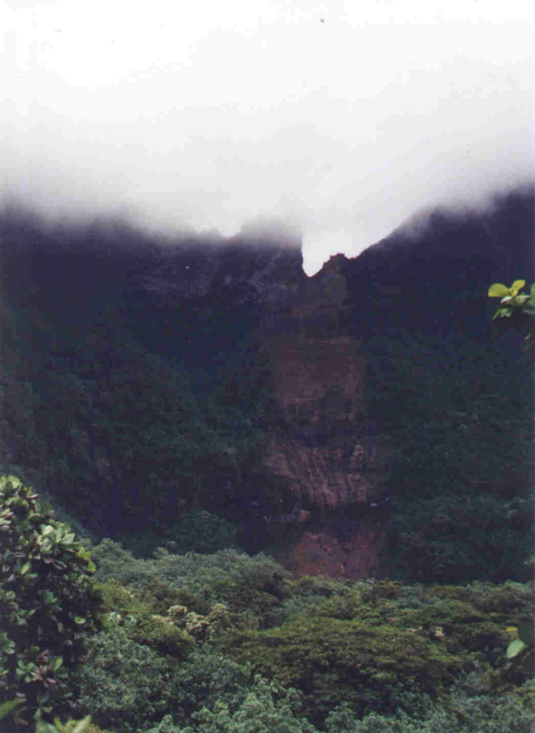
The clearing in the middle of the picture on the right is a landslide. This slide happened during the rainy season. Moorea has two main seasons: the dry season from June to October
(average temperature 76 degrees F.) and the rainy season from December to March (average temperature 80 degrees F.). The
average annual rainfall is 107.5 inches, or about twice the rainfall of New York City.
Moorea is an agricultural island with vast pineapple plantations (some say the best in the world) covering the lower slopes
of many mountains of the island. Also cultivated are vanilla, coffee, garden vegetables, and large orchards of fruit trees. One of the local favorites is
the breadfruit.
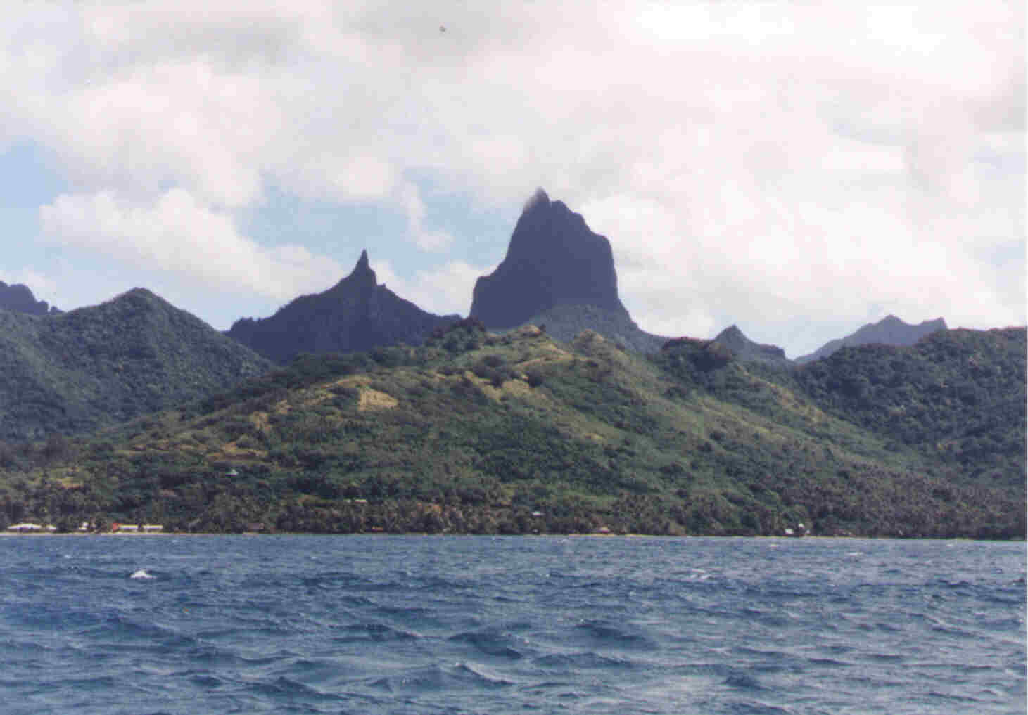
Moorea, as well as Tahiti, were once active volcanoes. This is evidenced by the cone shape (top) of the islands. The
islands are eroding from the middle outward. This erosion has left the landscape of the islands with a few interior jagged peaks. The mountain
peak featured in the photo is Mt. Mouaroa. It stands 2,886 feet high. This mountain is also featured on one side of the 100 CFP (Central Pacific Franc).